About Smiths Lake
Smiths Lake is a small village in the Pacific Palms area of the Mid North Coast, in the MidCoast Council area, approximately 274 km north of Sydney. It had 1,235 people at the 2016 census.
It is a popular tourist destination because of its position beside several waterways: boating and fishing on Smiths Lake, the Myall Lakes and Wallis Lake, or swimming at the beaches including Cellito, Blueys, Boomerang, Elizabeth and Seal Rocks. Walks in the national parks, Seal Rocks lighthouse and The Grandis, the tallest tree known in New South Wales at 84.3 m, are nearby.
How Smiths Lake got here
A few dates and facts that shaped the place.
April 2007
The lake is included in the Port Stephens–Great Lakes Marine Park, ending its commercial fishing industry.
Sanctuary
The western third of the lake is a Sanctuary Zone.
Symes Bay
The north-eastern area, Symes Bay, is a Habitat Protection Zone.
Where is Smiths Lake?
Smiths Lake is in the MidCoast Council area on the Mid North Coast of New South Wales.
Nearby towns with hubs on OurHub, with straight-line distances: Bungwahl (4 km west), Pacific Palms (6 km north-east), Seal Rocks (7 km south-east), Coomba Park (17 km north).
What the Smiths Lake directory lists
To eat and drink: Frothy Coffee Boatshed.
Parks, beaches and recreation: Coates Reserve, Debert Reserve, Sandbar & Bushland Holiday Parks & Golf Course, Veropa Park.
Get in touch
A question, something out of date, a group to link, or the keys to this hub: send it here and someone at OurHub will get back to you.
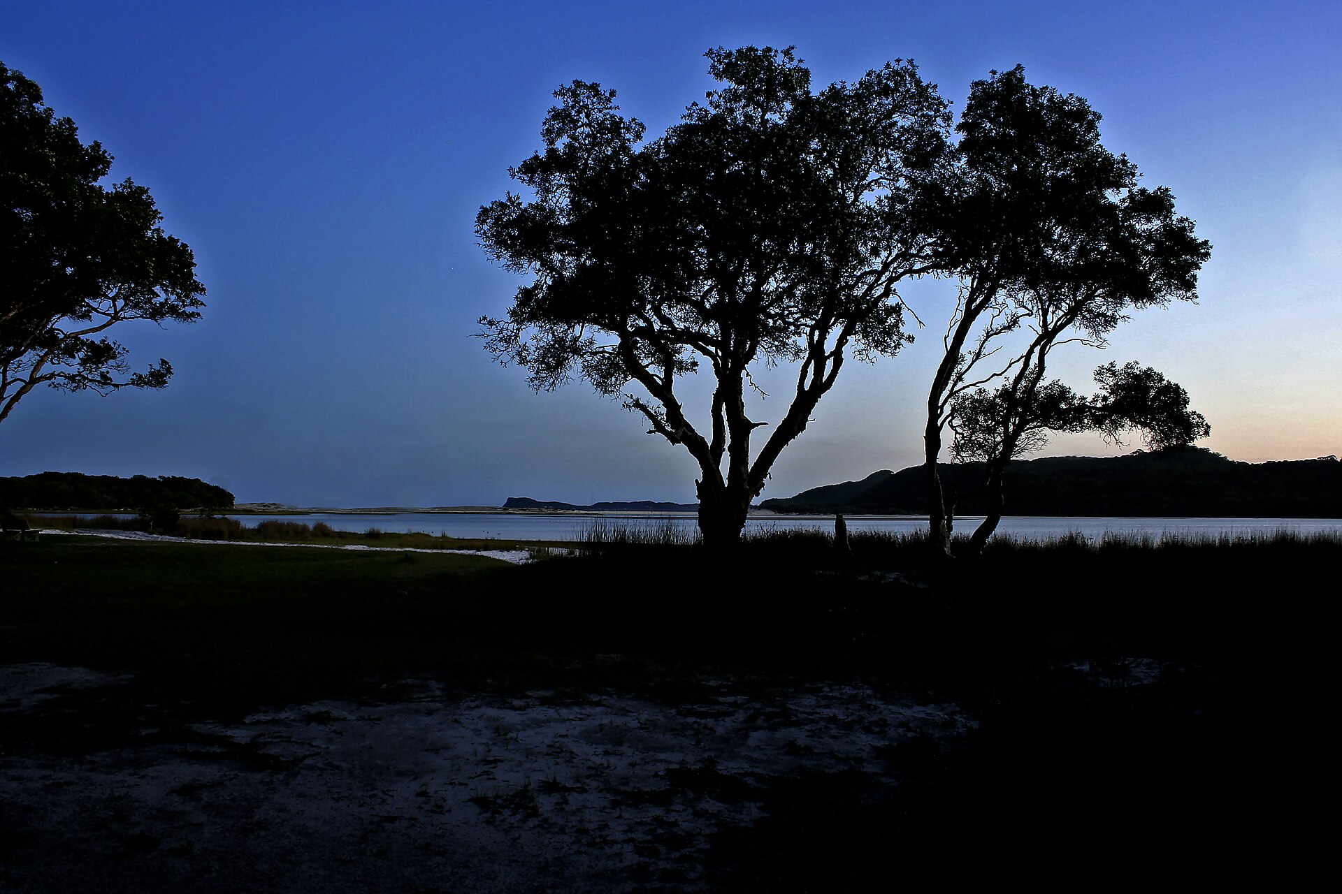
Photo: “Smiths Lake from Sandbar - panoramio” by Ray Hayward (CC BY-SA 3.0), via Wikimedia Commons. Town facts: Wikipedia (CC BY-SA 4.0), which cites the Australian Bureau of Statistics census. Straight-line distances are worked out from the hub’s coordinates. Directory locations © OpenStreetMap contributors (ODbL).